Product overview
- Part Number
- HolyBro H-RTK UM982 Helical GPS
- Manufacturer
- HolyBro
- Product Category
- OTHER PARTS
- Update Date
- 2024-05-20
Description
Detailed Information
Take your UAV project to the next level with the Holybro UM982 Dual Antenna RTK GPS! This powerhouse is not your everyday GPS module; it’s an advanced piece of tech wizardry that marries high-precision positioning with a delightfully nifty feature: the capability to generate non-magnetometer moving baseline yaw determinations. Confused? That’s okay – let’s break this down into simple, bite-sized chunks.
You’re an aspiring UAV builder, creating a masterpiece designed to fly in the most extreme environments, but you’re met with a challenge: magnetic interference. Nothing ruins a good flight like erroneous yaw reports that could lead your UAV astray or, even worse, into a nose dive!
Traditional magnetometers can’t cut it anymore. They’re sensitive to interference from electrical systems and vehicle motors, not to mention environmental sources like pesky metal structures. Before you know it, your UAV is behaving like a drunken mosquito, and that’s not going to cut it, is it?
Enter the Holybro UM982 Dual Antenna RTK GPS. It doesn’t merely offer you the GPS standard package of latitude, longitude, and altitude. No, this bad boy goes the extra mile with an ingenious application to provide compass-less YAW information to the autopilot (in layman’s terms, a GPS Heading or Moving Baseline Yaw). This feature is your knight in shining armour against magnetic interference.
With the UM982 on board, your UAV will glide through the air with the grace of a ballet dancer, even without receiving RTCM data from a fixed RTK base station or NTRIP server. And let’s not forget its killer RTK positioning adjustment for centimeter-level accuracy and support for multiple global positioning systems. It’s like having a mini mission control in your UAV!
But wait, there’s more! The UM982 also serves as a base station GPS for sending RTCM data and features a magnetometer, LED, and a safety switch button. It’s a complete package wrapped in a compact and efficient design.
Product Highlights:
- Dual antennas enable Moving Baseline Yaw (GPS Heading) with just one module.
- A brilliant solution to replace the traditional compass/magnetometer.
- Specifically designed to tackle high magnetic interference.
- Delivers excellent RTK performance for centimeter-level accuracy.
Specifications
Product | UM982 |
Application |
|
| Compass | IST8310 |
GNSS | BDS B1I/B2I/B3I GPS L1C/A/L2P (Y)/L2C/L5 GLONASS L1/L2 Galileo E1/E5a/E5b QZSS L1/L2/L5 |
Antennas Peak Gain (MAX) | 2dBi |
LNA Gain (typical) | 33±2dB |
Time-TO-First Fix | Cold start: ≤ 30s Hot start: ≤ 5s |
RTK-SurveyIn-Time | ≤5 minute @2.0mCEP |
Data and Update Rate | 20 Hz Positioning & Heading 20 Hz Raw Data observation |
Port | Port 1: GH1.25 10-pin Port 2: USB Type-c Port 3: UART 2 (GH1.25 6pin) |
Cable Length | GH 10P: 150mm GH 10P: 400mm GH 10P to 6P: 300mm |
Antenna Connection Type | Board: SMA female Antenna: SMA male |
Baud rate: (Adjustable) | 230400 5Hz default |
Working voltage: | 4.75V~5.25V |
Current Consumption | ~350mA |
Dimensions | Board: 34.8*58.9*14.4mm Antenna Diameter: 27.5mm Antenna height: 59mm |
Weight | 37.9g (without antennas) |
Included
- 1x H-RTK UM982
- 2x High Precision Helical Antennas
- 2x Antenna Mounts
- 2x SMA Cables
- 2x 10pin – 10pin JST-GH Cables
- 1x 10pin – 6pin JST-GH Cable
- 1x 6pin – 6pin JST-GH Cable
What is RTK, and why is it beneficial?
it’s a bit of both. RTK is a satellite navigation technique used to enhance the precision of position data derived from satellite-based positioning systems. So, what’s the big deal? Here’s why:
In the world of UAVs, every millimeter counts. Whether you’re navigating through dense forests, mapping large agricultural fields, or hovering over bustling cityscapes, you need the accuracy of a sharpshooter. Here’s where RTK GPS comes into play.
Standard GPS can tell you roughly where you are (within a few meters), but RTK GPS? It elevates the game to centimeter-level accuracy. That’s right – centimeters! Now we’re talking less about ‘guesswork’ and more about ‘pinpoint precision’.
How does it do this? It’s all down to RTK’s clever use of corrections for atmospheric conditions and the timing errors of GPS signals, significantly improving the accuracy of your UAV’s positioning. Imagine being able to thread a needle with your UAV’s flight path. That’s the power of RTK.
So, to all the UAV builders out there, if you’re seeking precision in flight, smooth navigation, and peace of mind knowing your UAV is exactly where it should be, remember these three letters: RTK. It’s not just a trendy tech term; it’s the key to unlocking a new level of precision in your UAV adventures.
Price & Procurement
Associated Product
-
-
-
-
-
-
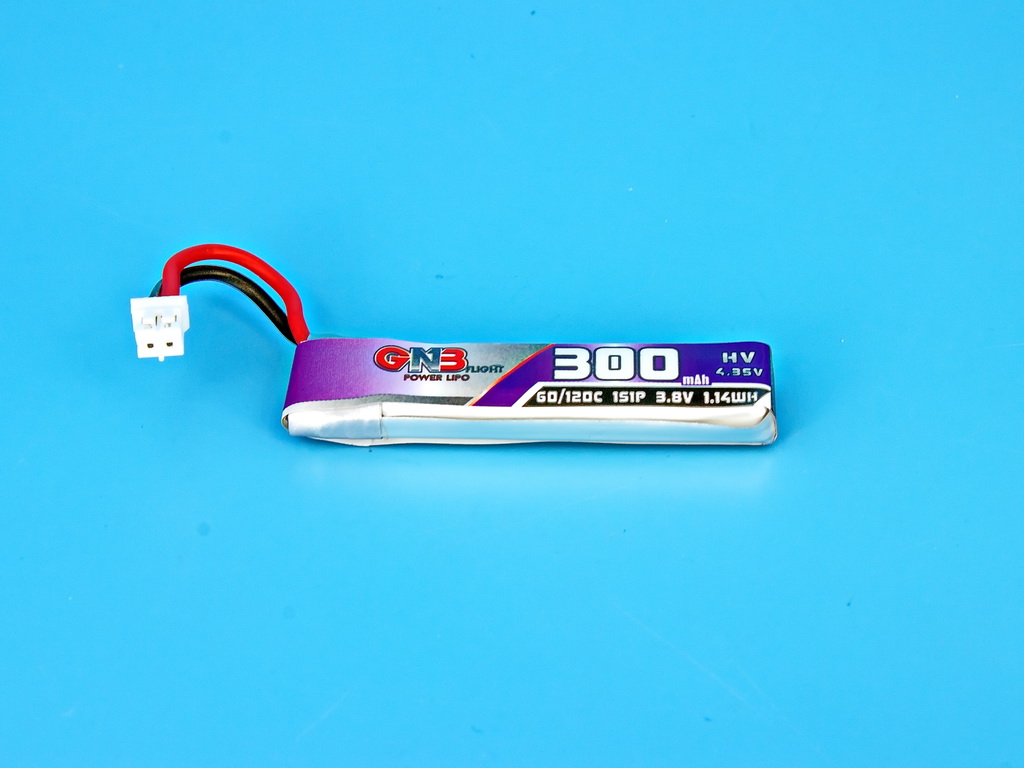
Capacity: 300 mAh Nominal voltage: 3.8 V Maximum discharge current: 60C ...
-
DarkStar20: So light, it makes feathers look overweight. Perfect for sneaking th ...
-
With 20A Blheli_s ESCs and an integrated ELRS RX, this FC lifts your drone’s per ...
-


